Our Expertise in Surveying
We Offer a Range of Services to Meet Your Needs
Our services are tailored to provide accuracy, reliability, and full compliance, giving your projects a strong foundation through precise data and professional analysis.
Get in touch with us today to find out how our surveying expertise can support your next project.

Tropographic Surveys
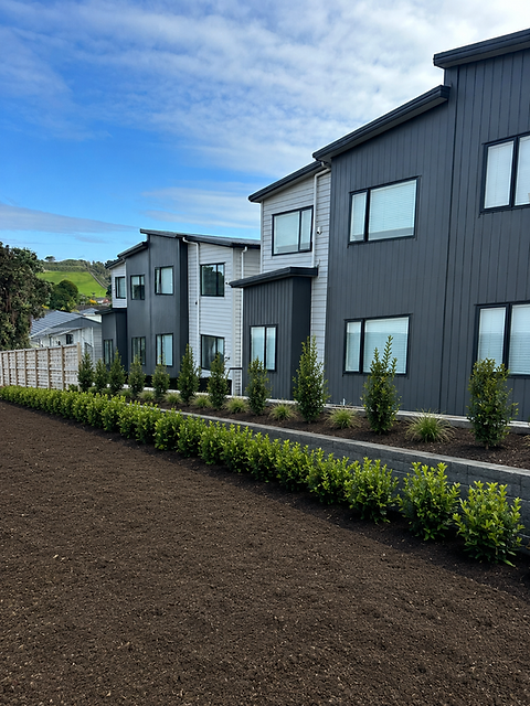
A Topographic Survey captures the existing features of a property to create a 3-dimensional image of what an existing site may look like. This is also known as a site survey.
We offer a comprehensive topographic survey service designed to provide accurate, detailed maps of your land's surface features. This includes, but is not limited to, contours, elevations, and natural and man-made features of a project site. Whether you're planning a new development or need precise data for engineering and architectural design purposes, our topographic surveys are the key to informed decision-making.


Survey Scheme Plans
A Survey Scheme Plan is a detailed diagram or drawing that outlines the proposed boundary layout of a new site. This is an essential step in your application to council for subdivision consent.
We provide high quality schematic plans by working closely with architects and planners so that you can have your future development project approved by council.
Construction Set Out
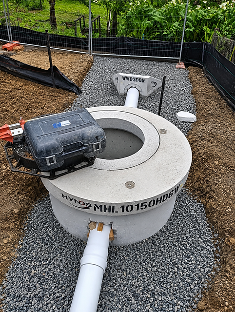
Construction Set Out is the process of transferring a building design onto the land itself so that contractors can follow it. It establishes the correct location points, as per design for site features such as site boundaries, drainage, driveways and roading.

As-Built Surveys and Certification
An As-Built Survey typically takes place during or near the end of your project. We offer full, professional As-Built Surveying services and Certification. This requires a site visit to record existing conditions and verify that the building, drainage and all other structural features are laid out consistently with the architectural or engineering plans. To get compliance from council this then is sited and signed by our Licenced Cadastral Surveyor.
Subdivision and Land Transfer
Subdivision and Land Transfer in New Zealand requires a Licenced Cadastral Surveyor to create a cadastral survey plan that shows your properties legal boundaries, dimensions and areas of the approved scheme plan.
Our Licensed Surveyor can assist you in getting titles for your development through the process of 223 and 224 certification.
A 223 Certificate approval confirms that the final surveyors plan of your site aligns with the plan that council has approved in your application.
A 224 Certificate confirms that a subdivision is complete and compliant with all consent conditions, allowing new land titles to be legally registered.